Article Summary –
Historic flooding in Iowa has damaged nearly 2,000 properties, leading to evacuations and disaster declarations in many parts of the state. The flooding was caused by a combination of heavy rainfall and swelling rivers, both caused by a clash between a low-pressure wave from the west and precipitation from the Gulf of Mexico that landed in northwest Iowa. According to the National Weather Service, more severe thunderstorms are expected, with potential for additional flooding, in the coming days.
Iowa Suffers Massive Flooding Damages Over Weekend
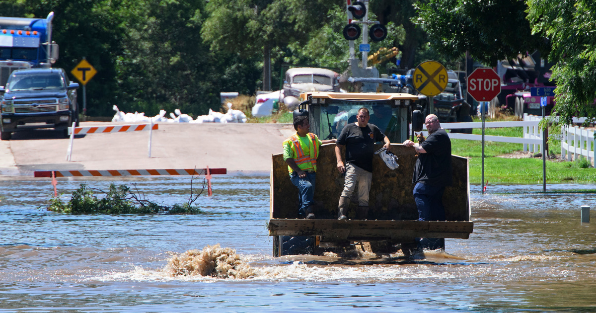
Iowa endured historic flooding over the weekend, resulting in damage to nearly 2,000 properties and triggering evacuations and disaster declarations. “The devastation is severe and widespread,” Iowa Gov. Kim Reynolds reported at a Des Moines news conference.
According to National Weather Service meteorologist Roger Vachalek, the flooding originated from not only direct rain, with some areas measuring 15 inches within two days, but also from the overflow of rivers submerging dry downstream communities.
This high precipitation, drawn north from the Gulf of Mexico and stationed over northwest Iowa and neighboring states, clashed with a cool, low-pressure wave moving from west to east, resulting in the extensive flooding.
As a result of the flood, over 1,000 Iowans needed shelter overnight, 1,900 properties across the state were damaged and more than a hundred of residential properties were destroyed. Several cities reported failed clean water and sewage systems. By Sunday night, disaster declarations covered 25 Iowa counties.
In the city of Spencer, more than 11,000 residents were isolated from the rest of the state by floodwater overnight, leading to hundreds of evacuations. Spencer’s Fire Chief Jesse Coulson reported that 383 rescues were made from the onset of the floodwater.
South Dakota also experienced severe weather, with Gov. Kristi Noem declaring a statewide emergency, predicting the worst of the flooding to occur on Monday and Tuesday. The state also closed a segment of Interstate 29 in the southeastern region in preparation for the Big Sioux River’s expected crest Sunday night.
Despite the extreme circumstances, residents are urged to stay vigilant as the threat of severe thunderstorms remains. “It’s not going to cease,” warns John Benson, the director of Iowa Homeland Security and Emergency Management. “It’s going to blossom.”
These rain and swelling waterways occurred simultaneously with a heat wave affecting much of the rest of the country, covering an estimated 95 million people in the U.S., with near-record high temperatures expected to persist throughout the week. This contrasted weather conditions are expected to trigger more severe thunderstorms in the Midwest and Great Plains.
—
Read More Kitchen Table News


